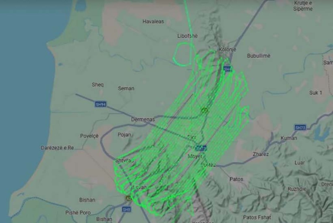
TIRANA, August 26 /ATA/ Albania has launched a new aerial photography project to update its national maps and improve territory management. Led by the State Authority for Geospatial Information (ASIG) and the Albanian Development Fund (FSHZH), the initiative uses high-resolution imaging and LiDAR scanning to monitor urban and rural spaces.
The project's first phase has begun with aerial photography over 680 km² of urban terrain, establishing a higher standard for geospatial accuracy and data collection.
Operations leverage ultra-high-resolution 5 cm ground sample distance (GSD) imagery alongside LiDAR scanning at a density of 10 points per square meter.
The primary aim is updating and expanding Albania's national Base Map to deliver precise, contemporary cartographic records.
As reported by ASIG, “The novelty of this project is the use of very high resolution technologies, 5 cm GSD, as well as LIDAR scanning with a density of 10 points/m².”
For the first time, this project uses side-angle aerial photos to build 3D city models and sharp images of urban areas. These new data tools will improve how we manage and study cities, nature and farming.
/m.m/j.p/p.s./